Wednesday, November 30, 2016

South Leith Parish Kirkyard, Edinburgh, Scotland


The South Leith Parish Kirk (or Church) has a 500-year history and some of the oldest - as well as most interesting - gravestones that I have ever seen. Like the Old Calton Burial Ground, its stones are thick and monumental. But the South Leith stones are notable for the frequency of trade symbols and other details relating to the occupation of the deceased. In contemporary graveyards in the United States, I have rarely seen occupations listed on gravestones, unless the deceased was a physician, ship's captain, clergyman, or politician. In Scotland, 18th- and 19th-century gravestones abound with bakers, masons, printers, carriage makers, etc.


The death's and cherub's heads in this cemetery are also incredibly plastic, even sculptural. Other features that are distinctive to Scottish gravestones (versus American): they use both sides of the stone (whereas Americans only use one), the stones are thick enough to allow motifs to emerge from the sides, and women are referred to by their maiden names. Men are also often referred to as "the husband of ...," a form of reference that I have never seen in the United States. Lastly, gravestones can be cumulative - i.e., space is left for additional names and details for family members who die after the stone is first erected.


One thing you may not have known about gravestones: they can provide clues as to how people spoke in the past. This stone commemorating Hannah Whyte, daughter of William Whyte, Shipmaster in Leith, who died at the age of 17, says she was "deeply regrated."


Another interesting find: this inscription featuring a poem I was always told originated in New England. Or did it? 
 

Old Calton Burial Ground, Edinburgh, Scotland


What's better than an old graveyard? One that is situated in the shadow of Arthur's Seat and the Salisbury Crags. I don't know if I ever mentioned this, but Scottish gravestones are different from American ones. They're generally bigger and thicker. They feel more architectonic and monumental. I attribute this to the fact that Scotland has extensive and easily accessible granite deposits. From a purely practical standpoint, stone was cheaper and easier to come by for Scottish people than it was for Americans of similar means.

That being said, graveyards in 18th- and 19th-century Scotland - as in the United States - represent landscapes of privilege. Old Calton Burial Ground is the final resting place of many prominent individuals, including philosopher David Hume, scientist John Playfair, and publishers William Blackwood and Archibald Constable. It is also the site of the American-Scottish Civil War Memorial, erected to Scottish soldiers who perished in the American Civil War. The "ordinary" people buried in the Old Calton Burial Ground and similar cemeteries were fairly well-to-do tradesmen, professors, and authors.


As for the motifs: the skull and crossbones is a fairly common find, and seems to have flourished roughly contemporaneously with the "death's head" in the American Northeast. However, the Scottish skull and crossbones is far less stylized than its American counterpart - perhaps attributable to Edinburgh's prominence as a center for science, medicine, and (most infamously) anatomy. In the years surrounding the Scottish Enlightenment, citizens of Edinburgh resorted to extreme measures to procure anatomical specimens for study.

Tillinghast Cemetery, Providence, Rhode Island


Hey, blog. Long time no see. I've been busy working on my PhD program, but I haven't stopped thinking about or visiting graveyards. The Tillinghast Cemetery on Benefit Street in Providence, Rhode Island, is one of the more unusual graveyards I have visited. There are no gravestones, aside from the huge monument at the center commemorating Elder Pardon Tillinghast, the English progenitor of the Tillinghast family. He was born in Seven Cliffe, Sussex, England, in 1622 and migrated to Providence in 1643, where he served as the pastor of the First Baptist Church.

Providence in 1790, depicted by a Brown University student

In the 17th century, many of the families of Providence maintained their own family burying grounds on their properties between Main Street and Benefit Street (the area of first Euro-American settlement in the city). In 1710, with the founding of the North Burial Ground, many began to bury their dead in the large municipal cemetery to the north of the city and even moved bodies and grave markers from existing family cemeteries. By the late 19th century, most of the old family burying grounds had been obliterated, with the exception of the Tillinghast Cemetery. It contains approximately 35 burials, but only one marker.


From this historical atlas of Providence, you can see that the Tillinghast Cemetery had become municipal property by 1875. This is the fate of most cemeteries that have been "abandoned" by the original owners, including the St. George/St. Mark's Cemetery.

Thursday, June 16, 2016

Stoney Hill Cemetery, Harrison


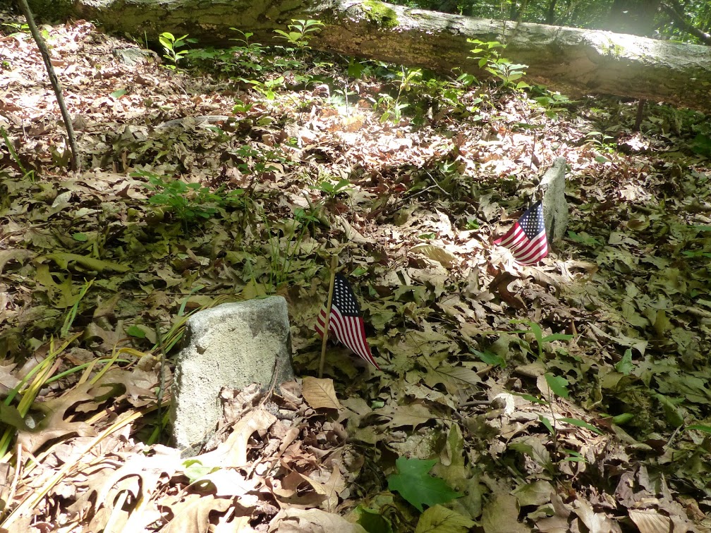
Stoney Hill Cemetery is one of the more unusual burying grounds I have visited. Because the site was abandoned for many years, it was absorbed into the forest. Only recently, through a dedicated restoration effort, have the hundreds of burial markers been reclaimed from the wilderness. Most of these markers are rough, unmarked fieldstones. The cemetery belonged to the African-American community known as Stoney Hill or "The Hills," which began around the time of the American Revolution, when the Quakers of Purchase Meeting manumitted their slaves and gave them 6.5 acres to live on in a rocky, hilly area of what is now the town of Harrison (at its peak, the area of "The Hills" covered 400 acres). 

At its height, Stoney Hill had several hundred residents, and between 200 to 400 individuals are thought to be buried in its cemetery. The community also had its own church and schoolhouse. The people worked hard as laborers, servants, coachmen, laundresses, and gardeners to the neighboring wealthy communities. Several dozen men from Stoney Hill enlisted and fought in the Civil War, including the one to whom this gravestone - now sadly broken - was erected (the marble marker is military issue, and you can just make out what I believe to be the letters of his company and regiment). 


Most of the people buried in Stoney Hill Cemetery were given simple, unadorned fieldstones. They may have been unable to afford more elaborate markers, but the lack of decoration may also speak to their African heritage and/or Quaker background. 


This marker is one of the few commercial gravestones we found. It was very difficult to see the inscription, but by waiting until the sun struck through the canopy just right, I was able to make out the words "Harvey Seymour / April 1, 1805 / March 10, 1904." I found Harvey Seymour in one federal census, in which he is listed as a laborer. The Harrison Public Library posted an article about Seymour in their digital collections, dating to 1903, which reads:
BORN IN SLAVERY DAYS
Mr. Harvey Seymour (Colored) Will Celebrate His Ninety-Eighth Birthday To-Morrow.
Always Lived in This Vicinity. 
Up in "The Hills," a former colored settlement north of St. Mary's Lake, near Silver Lake Park, just across the White Plains village line, to-morrow Mr. Harvey Seymour (colored) will receive all persons who wish to call and pay him respects on his ninety-eighth birthday. The venerable colored man was born in "slavery days in New York State." He was twenty-two years old when the laws of the Empire State made "all men free and equal" before the law. This was in 1827. He was born in King Street, Harrison, east of White Plains, and followed farming all his days. In early life he married, and, following out the old Biblical command of increasing and multiplying, he became the father of eleven children. Two of these still live -- Alonzo Seymour, of this locality, and Mrs. Mary Latham, of Troy, NY. The old man is still in vigorous health. Last week he sawed a cord of wood. His picture which was left yesterday at THE ARGUS office, shows him to be a bright and active man. It is his desire to shake hands with all who will call to greet him. He lives on the old "Alf" Martine place, near Purdy's grocery store. He says he can remember when White Plains had only one house west of Broadway and east of the Bronx River, and that was the old Jacob Purdy house still standing in Spring Street, near Mott Street.
The library also preserves a copy of Harvey Seymour's marriage record: he married Jane Halstead (a.k.a. Jane Gaul, after her stepfather) on February 25, 1835, in Grace Church. The couple's son, William Henry Seymour, served in the 14th Rhode Island Heavy Artillery Regiment in the Civil War. He survived the war, only to die of dysentery at home in 1866.

Twenty years later, Jane Halstead Seymour filed for a mother's pension from the federal government. Harvey submitted the following deposition as part of the application:
I raise home vegetables &c. on my patch of ground, which keeps us. I also raise potatoes and cabbage and turnips &c. for winter use. Also some apples. This, along with occasionally a few dollars I earn, and my son's help, is the way in which we have lived for years. 
I own this property, which has about one acre of ground. I don't know what it is valued at, but my son pays about $2.40 a year for taxes on it. Neither myself nor my wife have any other property of any kind from which we derive income. We own nothing in the world except this property.
For more information about the Hills, see the book Freedom Journey: Black Civil War Soldiers and the Hills Community, Westchester County, New York, by Edythe Ann Quinn.

Zar Cemetery, Chestnut Ridge


Those of you who are long-term readers of this blog may remember my spring 2014 obsession with Chestnut Ridge, the lost hamlet. Long story short, this small community of shoemakers was settled sometime around the Revolutionary War, began to decline in the late 19th century with the encroachment of industrialization, and was finally bought out by Arthur W. Butler, a banker who converted the area into a sprawling estate. Virtually all of the farmsteads were destroyed, along with the Chestnut Ridge Methodist Church, and even graves were moved from the former hamlet into Oakwood Cemetery. However, one cemetery remains in its original location and is now part of a nature sanctuary.


The dated stones date from 1824 to 1915, but many of the roughly shaped fieldstones in the cemetery are likely older. Most of these stones are not inscribed at all. The stone above, inscribed with the initials E. A. M., is an exception. The "M" likely stands for Moore, a common name in Chestnut Ridge.

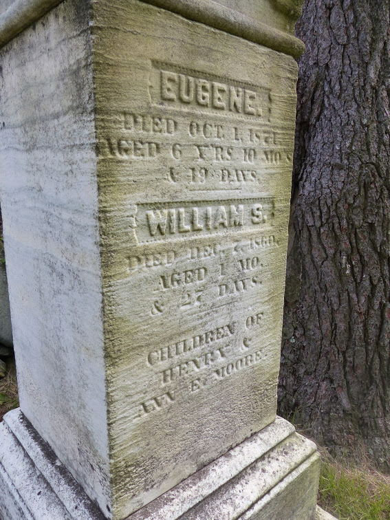
The newer stones are marble, such as this obelisk, located in the corner of the cemetery.


While the story of Chestnut Ridge is tinged with sadness - an entire community churned under the wheels of industrialization and Gilded Age splendor - it has a somewhat happy conclusion. Thanks to Butler's widow, Anna Foster Robinson Butler, the area that was Chestnut Ridge is now accessible to anyone who wants to enjoy it. The trees have reclaimed the old farmsteads and pretty much obliterated any visible remains of the old community, aside from the stone walls, which still jag through the forest, sometimes at impossible angles. 


It's a good place to go if you're interested in nature photography, particularly of wildlife. I was a little on edge as a bear was spotted in town a few weeks ago - not in the sanctuary, but on a residential street! But we managed to avoid the bears this time. Instead, we saw a red-winged blackbird and a red squirrel (photographed by my dad). Note the red theme - what could it mean?


Wednesday, June 15, 2016

Return to Spencer Optical

Back home for a few weeks before my summer fieldwork begins, I decided to check out the truly impressive work that the historical society has done in making the woods surrounding the old Spencer Optical site into a fully fledged historical hiking trail. I was blown away by their accomplishments. The area that is now the trail was filled with trash and debris. Now it is completely clear, allowing people access to one of the loveliest spots (in my opinion) in the town.

You'd hardly know that 120 years ago this idyllic patch of forest was the site of the foremost manufacturer of eyeglasses in the world. Or maybe you would - if you looked hard enough.


I set out onto the trail determined to find some lenses. As you may recall from my previous posts on Spencer Optical, children have been finding lenses in these woods for decades, and we even found one in our excavation of the St. George's/St. Mark's Church. However, I had never found any lenses at Spencer Optical myself, until now.

The trail begins on the side of the river opposite the factory site, then crosses the river and passes straight through it. For reference, here is a plan of the Spencer Optical site in 1885, featured in a Sanborn Fire Insurance Map. As you can see, the site consisted of two buildings: the main factory building, which was two stories with a tower and was made of brick, and the storage building, which was smaller and made of wood.


You can see both of these buildings in the photographs taken during the planning of the New York City watershed project in 1896. At this point, the factory had been abandoned for several years. The Spencer brothers had struggled to find a buyer for the property, which was essentially worthless after the draining of Kirby Pond cut off its power source. Then, in 1896, the site - along with a large portion of the town - was acquired to construct the New York City watershed. Many buildings in the downtown area were torn down; it's possible that the factory buildings were torn down at this time, too, but I haven't been able to confirm it. After the 1890s, the area surrounding the factory buildings reverted to wilderness.


Walking through the trail, it is difficult to imagine that it was ever a thriving industrial center. The area is packed with trees and the ground is covered by a thick carpet of leaves and brush. However, looking closely, some clues stand out. To begin with, there is the huge dam that we explored in fall of 2014. When intact, the dam closed off what was known as Geer's Pond. Now the water flows through it freely.

There are little chunks of brick and other debris washed down the river, which you can see on the first half of the trail, but the real discoveries begin when you have crossed the river and come to the side where the factory stood. It's difficult to capture in photographs, but there is a huge mound that is almost certainly the brick factory building pictured above. You can't tell what the mound is made of, because it is covered with leaves and brush, and there are even trees growing out of it, but if you dug down into it, I guarantee you would find the collapsed form of the building.


Surrounding the mound, you can find masses of bricks, chunks of mortar and cement, and random pieces of rebar - as well as the lenses, pictured above. When I first saw the lenses, I thought they were the broken pieces of a bottle. In fact, most of what I found in this area were not the lenses themselves, but the waste from the glass "blanks" into which the lenses were punched. They were on top of a small mound, beside a much larger mound, which I am guessing was used as a trash heap by the factory. The larger mound is covered with leaves, while the smaller mound looks like it was washed down from the larger one by rain and/or erosion, which is why the lenses were visible at the surface.

My guess is that if you excavated the larger mound - or perhaps just a section in profile - you would find a lot more glass and other debris from the period when the factory was in use. To give you an idea of its scale, the factory produced about a half million pairs of eyeglasses per year, from 1874 to 1888.


Saturday, January 30, 2016

Almshouse Stories: Destruction of the Almshouse Cemetery

[An undated newspaper clipping forwarded to me by Philip Hayes, a very knowledgeable follower of our historical society's Facebook page]

SAW MILL RIVER PARKWAY TRAFFIC ROLLS ON GRAVES OF PAUPER DEAD

Only one headstone remains standing at County's Old Burial Ground at East View, ploughed under for highway improvement.

BY CYNTHIA LOWRY

EAST VIEW, Nov. 14. The purring wheels of modern automobiles traveling the Saw Mill River Parkway here pass over the graves of dozens of paupers. One headstone remains standing, ghost-white against the brown hillside, a silent marker of a Westchester Potter's Field which made way for the needs of the day.

The small cemetery was the burial place for inmates of the County Home who were without family or had no other place in which to be interred. It was a small plot of land at the East View Station. The potter's Field was in use for over 100 years, but was not used after the county acquired a new cemetery near Grasslands Hospital. The last burial was made there around 1920.

The burial ground was flat, so when the land was taken to build the parkway, the graves were covered with about 20 feet of dirt, and the Saw Mill River Parkway runs along on a ridge high above the graves. None of the graves were disturbed in the construction last year.

Francesco Servello, a one-time inmate of the County Home, was one of many buried there. His is the only grave which was not disturbed, and, with its simple fieldstone cross, stands like a neglected sentinel beside the parkway.

But Francesco Servello has not been forgotten, for once a year someone -- no one at the County Home knows who it is -- comes to the grave and puts flowers on it. Now, the spot is bleak and uncared for, with dead palm branches lying across it, and a stick from which once floated a small flag.

To get to the grave, one must either climb the wooden rail along the Parkway, or climb a barbed wire fence by the railroad tracks, and walk along the sharp brambles to the lonely marker.

According to Peter Makulov, an employee of the County home since 1915, the graves were all marked with either fieldstone or wooden crosses.