

So far, this is the earliest map I've been able to locate that shows the County Almshouse. Printed by Frederick W. Beers in 1867, it identifies the almshouse as "County House Hospital" and places it in the hamlet of East Tarrytown, near the place where the Saw Mill River changes directions from south to west, forming an angle. You can see that the hospital complex consists of three small buildings and one long one, standing adjacent to one another on the west side of the river.
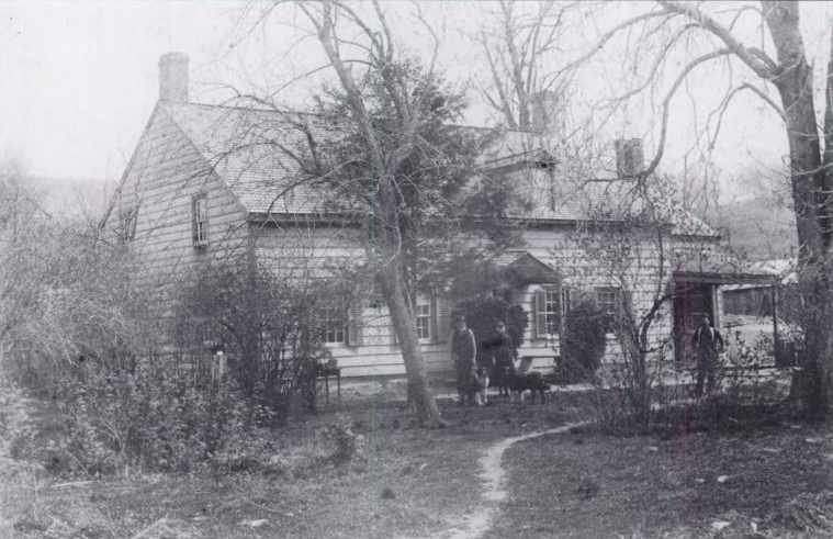
There are quite a few farmsteads and houses located along the Saw Mill, as well as the S&G Mill. In the left of the detail above, you can see marked "W. Landrine - House where Andre was brought after his capture." This is the Landrine House, pictured below in The History of Tarrytown and Sleepy Hollow, which was at that time owned by the Reed family. It no longer exists.
Virtually the entire hamlet of East Tarrytown - also known as Eastview - was destroyed in the creation of the Saw Mill River Parkway, and the topography of the area was significantly impacted. Thus it is a bit tricky to correlate the old maps with what is currently there, but I'm working on it.

I am hoping to learn more about the almshouse when I visit the Westchester County Archives again, which contains all of the almshouse records, beginning with the opening of the almshouse in 1828. Up until that year, the individual towns provided for their respective poor populations. The almshouse centralized and systematized the care provided to the county's poor.
No comments:
Post a Comment