Thursday, December 19, 2013

The Graveyard in Winter

Yesterday Laurie and I went to the graveyard to get some pictures of it in the newly fallen snow. It was really the perfect day for photos - sunny, and the snow was completely pristine other than a few rabbit tracks. Laurie noted how the snow on these gravestones seemed to wash up onto them like waves.


It was also a perfect day for reading the gravestones. At certain times of the year and times of the day, many stones are illegible. Yesterday I was able to make out details that I had never seen before, despite having visited the graveyard roughly three billion times. For instance, I had seen George See's name in the cemetery index, but I had never noticed his grave (below), despite the fact that it's fairly prominently situated in the graveyard. He was a Civil War veteran.


The snow in this area (below) was covered in multi-colored sparkles. Although you can't see them in the photo, you can see how the snow molds itself to the topography, creating its own kind of geophysical map!


Laurie and I were amused by the way that the snow seemed to form a fleece around the tiny sheep on Howard Green's gravestone. It looked very sweet - and the stone itself looks like it's wrapped in a white blanket.


The light brought out the faint gray stripes in Martha Brundage's marble gravestone. I keep having to remind myself that when they were new all of these marble stones would have been brilliant white.


Like this, for example. While not as white as it would have been in the 1840s, Catherine Sarles's stone is pretty nicely preserved. This was an excellent day to view willows, which are often the hardest motifs to see (in my experience; this is probably because most willows were carved in marble).


Sometimes, an entire family adopted the willow motif. The urns on these two stones (Solomon Hains's in front and another directly behind) are subtly different.


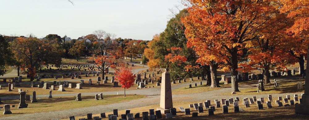
The inscriptions on the obelisk of the Hall family were coated in ice on every side. I noticed that the monument itself is dated 1895 (which you can't see in the photo). That was the year that James Smith Hall, the patriarch, died. I'm assuming that it was his death that prompted his family members to put up the monument - or maybe it was stipulated in his will. In any case, it was inscribed with the names of James's daughters who had already died and later was inscribed with the name of his wife.


This child's grave is located all the way at the back of the cemetery, in the Methodist part, along the wall.


Here's another example of a family that decided to put willows on all of their graves. As you can see, they are subtly different. Some of the willows are more realistic, others more abstract. Some are encased in a circle, others are outlined more closely.


The rabbit tracks shown here below the Sands family plot continued down the hill and wrapped around part of the Episcopal cemetery.


It was nice to see the cemetery again after what seemed like a long separation. It's strange to think of all our STPs, the foundation wall, and all of the artifacts we haven't yet uncovered hidden under the blanket of snow (as well as a layer of dirt). I am hoping that spring comes early so that we can resume our work!

Wednesday, December 18, 2013

Another Look at the Unmarked Grave


Because it's a scan of a copy of an image in a book taken from a newspaper, it's a bit hard to see, but what you're looking at is one of the Amuso brothers pointing out an unmarked grave that he discovered during the destruction of the cemetery's original wall in 1960. The grave (I believe) has at this point been cemented into place to protect it during the reconstruction of the wall.

I had never seen this image before, and was surprised when I found it in Patrick Raftery's The Cemeteries of Westchester County. It gives somewhat of a better idea of where the grave was.

Thursday, December 12, 2013

Berthier's Map in High Resolution


Thanks to Princeton University, which holds the originals, we now have this awesome high-resolution version of Berthier's 1781 map of North Castle. This is not, actually, the full resolution image - I had to downsize it to get it to upload to Blogger. Here are a couple of closer views:


In the version of the map we had before (which was taken from a book) there seemed to be only one color red used to delineate structures. In this version, there is clearly a distinction between the dark red color used to demarcate permanent structures versus the lighter pink-red used to mark military camp buildings. At least, that's my reading of the map.

If my interpretation is correct, then there was a large military structure - larger than the meetinghouse itself - next to St. George's where there is currently a bagel shop (previously it was the Fife and Drum restaurant - a very apt name!). If only we could excavate that area!

Another detail I noticed in this version of the map is the clear boundary marking out the church property, and how the church is positioned right in the center. This actually makes quite a bit of sense given our findings this season. We found the (possible) St. George's foundation wall in the southeast quadrant of the Episcopal cemetery. All of the 18th-century gravestones are located in this quadrant. While we had previously believed the entire eastern half of the Episcopal cemetery to be part of the original land given by Charles Haight, it may be that only the southeast quadrant was in use at this time. To fit in this small space, the church and its gravestones would have had to be packed very tightly together.

Tuesday, December 10, 2013

Our Exhibit: Close-ups


These pictures are pretty self-explanatory. I thought I'd share some images for those who can't see it in person.

Wednesday, December 4, 2013

Artifacts from the Fall 2013 Archaeological Excavation

Our exhibit opened today! Here you can see all three display cases that we used as well as the painted sign that stood at the entrance to the cemetery while we were excavating. We filled the cases with artifacts, images, and text. There are also some relevant materials from the historical society.


All of the images on display were created especially for the exhibit, with the exception of the poster boards with photos of the dig in progress, which we created for Archaeology Day. The main themes of the case above are pottery, architecture, and possible American Indian artifacts. There is also an introduction to the site.


The main themes of this case are military and local industries. Do you remember the Boehmer bottle we found on our last field day? In this case you can see that bottle (left) next to a later version (right). The later version was created when Rudolph Boehmer's son, Rudolph Jr., had inherited his father's business. This bottle was donated to the historical society.


The third case features some of our research materials as well as a trowel and the chalk board (which reads "Research is just as important as digging!"). On top of the case are some handouts about the exhibit and pamphlets about the restoration project.

Here are just a couple more pictures showing some of the beautiful details of this building.


I am very pleased with how the exhibit turned out and hope that many people come to see it. It will be up for at least three months.

Tuesday, December 3, 2013